
History Of Berkshire
By John Firth
The currently accepted theory is that the surface of the Earth is made up of fourteen major plates and several microplates.
These are constantly moving, sometimes scraping past each other with little harm done, sometimes one passing under another and going back down into the mantle to be recycled, and sometimes banging into one another, which causes the edges to fold, throwing up mountain ranges.
About 750 million years ago a huge continent called Rodinia began to break up.
One chunk has been named Gondwana, and at that time what is now England, Wales, Ireland and part of lowland Scotland were part of it and down around the Antarctic Circle.
Over the next 250 million years a new ocean (the Rheic Ocean) began to open up, separating a splinter called Avalonia from Gondwana. During the Silurian period Avalonia collided with another piece of Rodinia called Laurentia, fusing Scotland and Northern Ireland to southern Britain and throwing up a vast range of Caledonian mountains.
The opening of the Rheic Ocean drove the new landmass north and, as it moved across the southern desert belt and then the equator, first desert heat and winds and then tropical rains wore the Caledonian mountains down to a coarse red sand, and between about 420 million and 380 million years ago this sand was left as a thick layer of Old Red Sandstone across the whole country.
Two bands of the Old Red Sandstone have been found in Berkshire, beneath Lambourn in the west, and Slough and Langley in the east, which form part of an enormous valley, the Berkshire syncline.
This was around 1,200 metres deep, and ran for about 100 kilometres west-north-west.
The south polar icecap melted, causing sea levels around the world to rise, and for around 80 million years Berkshire was under water.
A band of volcanic rock was laid down below Burnt Hill during these years (in the Carboniferous), but none of the structures we associate with active volcanoes have been found, so this is a bit of a mystery.
During this time the Pacific Ocean opened and the Rheic Ocean closed, driving together many fragments of Rodinia to form a new super-continent, Pangæa.
Berkshire was somewhere in the middle of this, pushed up out of the water by the collision but part of a huge desert.
Any rocks laid down during the Permian period, and most from the Triassic period, have been eroded away.
A new sea, the Tethys Sea, began to break up Pangæa, and during the Jurassic this again covered Berkshire: quite a lot of Jurassic layers have been found at depth, but none break the surface: you’ll have to go into Oxfordshire if you want to see them.
The visible geology in Berkshire is Cretaceous or later (which began about 145 million years ago).
The UK continued moving northwards; by now, around what we would now think of as Mediterranean latitudes. Berkshire was above the water for a brief period at the beginning of the Cretaceous but the Lower and Upper Greensand (that you can find around Inkpen) and the chalk were laid down in progressively deeper water.
Chalk was laid down for some 20 million years.
Starting about 66 million years ago, two sets of events pushed what is now Britain above sea level once more and formed the present geography: major volcanic events in northern and western Britain associated with the opening of the Atlantic Ocean, and the African plate moving north, pushing up a range of mountains running from the Alps to the Himalayas.
All the while Britain continued moving north, but the Atlantic also pushed it eastwards.
The volcanic activity had ended by the Eocene, about 55 million years ago, but the Alps are still being pushed up.
The pericline (a dome-shaped ridge) on which Windsor Castle is built may be part of this Alpine activity.
The sarsen stones that are plentiful in northern and western Berkshire formed around this time, and suggest that the county was a sandy floodplain, generally dry but suffering occasional floods.
During the last 2.6 million years, the English Channel opened (gradually, over a long time) and a series of seventeen ice ages occurred; ten of them in the last million years.
The ice did not cover Berkshire, but it caused the Thames to break through the Chilterns at Goring, and many tributary rivers to form and change course, some several times.
These rivers created the hills and valleys that we see today; they also attracted animals and a new predator following them, called Homo heidelbergensis, who arrived sometime between 430,000 and 450,000 years ago. Long intervals occurred between hominin visits, partly because the ice ages did not end until about 11,000 years ago (if they have actually ended, which experts argue about).
The earliest Homo sapiens sites (near Kintbury, and near Thatcham) have been dated to around this time: Thatcham can claim to be the longest continually occupied settlement in the UK, largely because early humans seem to have continued to come back to make tools at the same spot at the junction of the Kennet and the Lambourn long before any actual settlements were founded.
Archæological sites in Berkshire remain relatively few until the late Bronze Age, but proliferate during the Iron Age, but the Roman invasion by Claudius in 43ce was nominally to support the Atrebates, who had a major settlement at Silchester. Three major roads (Ermin Way, and two that have become known as Camlet Way and the Devil’s Highway) connected Silchester (now called Calleva) with Cirencester, a major Roman town at Alchester and London, and villas and other settlements were established.
Little is known about the three centuries after the Romans left in the fifth century ce, but Berkshire was West Saxon by the reign of Alfred and Vikings arrived (and were seen off) at intervals over the next two hundred years.
The Normans arrived but left relatively little mark at first; Berkshire seems to have recovered more quickly from the Black Death than some other counties; it was much fought over during the Civil War; but its history can be described as rural and agricultural until the opening of turnpike roads, then canals and later railways in the eighteenth and nineteenth centuries.
These favoured some towns and penalised others; but the major social change was the enclosure of about one-third of the county between 1760 and 1883, most of it during the Napoleonic Wars (1795–1815).
Some might say that the patenting of tarmacadam in 1902 completed the process that enclosure began.
History Of Berkshire -Geology and Archæology of Berkshire
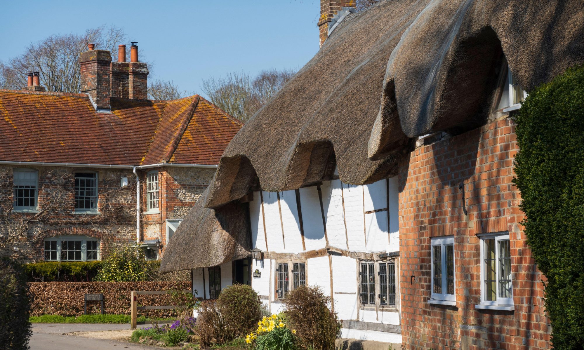
Berkshire contains places of great beauty, and a market town, Thatcham, that may be the longest continuously inhabited settlement in the British Isles.
Most books about the county’s ancient human history (archæology) and geology have been written by experts for experts, but this one is aimed at a wider readership: people who aren’t professional scientists, but wish to learn more about an area to which humans and proto-humans have been coming for more than 430,000 years.
It tells visitors where to go and what to look for, with guided walks round interesting (and beautiful) places, details of significant sites and museums, 29 maps and diagrams, and 38 colour photographs.
‘An agreeable publication that is well written and of great potential interest to the non-professional audience which it targets.’
Andy Valdez-Tullett, Wessex Archaeology
Geology and Archæology of Berkshire is a 160-page paperback, and costs £9.99.
You must be logged in to post a comment.